UK weather: Met Office expert explains why May has been so wet, cold and miserable

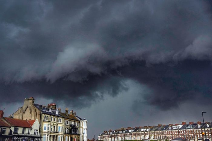
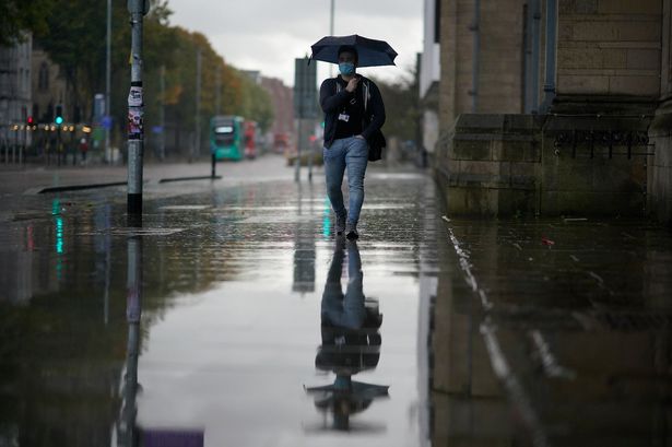
Britain’s soggy May washout and persistent gale force winds are thanks to a jet stream from Greenland.
This year’s unusually wintry spring has inconveniently coincided with the long-awaited lifting of lockdown restrictions after months spent largely indoors.
The Met Office said up to Saturday the UK had seen an average of 109.3mm of rainfall – 157 percent of the average for the usually dry and sunny month.

This makes it the 10th wettest on record, with nine days still to go.
Meteorologist Aidan McGivern said: “If you enjoy warm and sunny spring weather, I am guessing you have not been a fan of this May so far.
“There’s no denying it’s been wet. Some places have had two times their usual total May rainfall – and that’s only up to May 18.
“A far cry from April, which this year was the sunniest April on record.”
Although April was cold, a blocking anti-cyclone near the UK helped divert the jet stream, taking cloud and rain away.
Aidan said: “May’s weather has also been down to a blocking anti-cyclone – but this time, it’s over Greenland and that helped push the jet stream to the south.”
As the dip of the jet stream lingers, low pressure moves in and mills around for several days, bringing rain.
However, hope is coming as a long-awaited heatwave could well be on the cards with temperatures as high as 24C from June 1.
Forecasters say the heat will begin in the south and gradually rise in the first week of the next month.
Kent, London and parts of the south are all braced for temperatures in the mid-twenties for at least the first few days of next month.
Then there’s the possibility of a 16 day scorcher from June 15 to July, thanks to a 700-mile wide “heat bubble”, say some forecasts.
John Hammond, of Weathertrending said: “Some warmer days are in the offing, with temperatures in the 20s.”
He added the conditions would be “very pleasant”.

